Satellite Surveillance in Ukraine and Sudan: How AI-Powered Imagery Is Exposing War Crimes and Holding Regimes Accountable
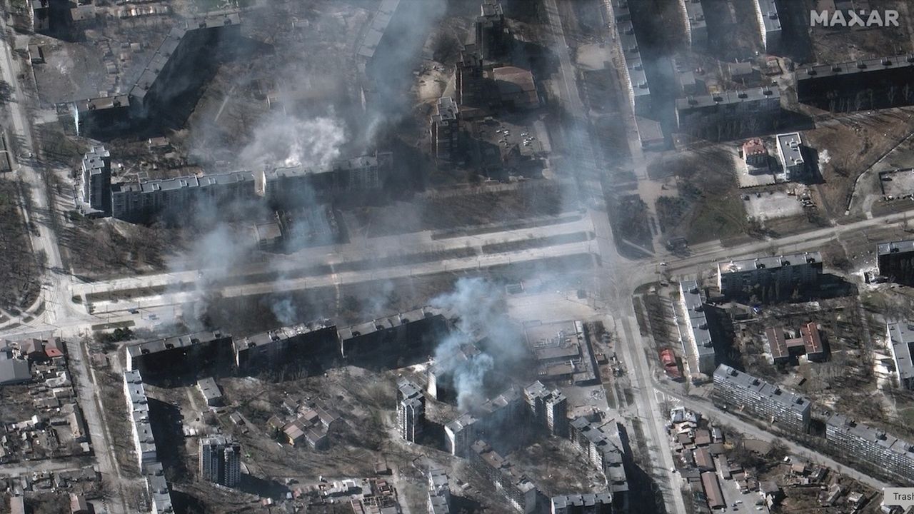
In conflict zones from Kyiv to Khartoum, high-resolution satellite imagery is transforming global awareness of war’s human toll. Organizations like the UN Office for the Coordination of Humanitarian Affairs (OCHA) and nonprofit groups such as Human Rights Watch are leveraging real-time data from Maxar Technologies and Planet Labs to document destroyed villages, mass graves, and troop movements. In Ukraine, satellite analysis revealed the full scale of the Bucha massacre—over 400 civilian bodies identified through thermal and optical imaging—providing irrefutable evidence that challenged Kremlin denials. Similarly, in Sudan, where access for journalists remains restricted, satellites captured the systematic burning of neighborhoods in El Fasher, linking destruction patterns to known military units. These tools empower investigators and courts with timestamped, geotagged proof essential for future prosecutions under international law. Despite limitations—cloud cover, delayed data, and manipulation risks—the integration of artificial intelligence now enables faster detection of atrocities than ever before. As satellite monitoring becomes standard in conflict reporting, it not only holds perpetrators accountable but also redefines transparency in wartime. The future of justice may well begin with a single pixel from space.